
Are Drones Replacing Surveyors?
Drones can collect land survey data quickly, efficiently and...
- 489 days ago
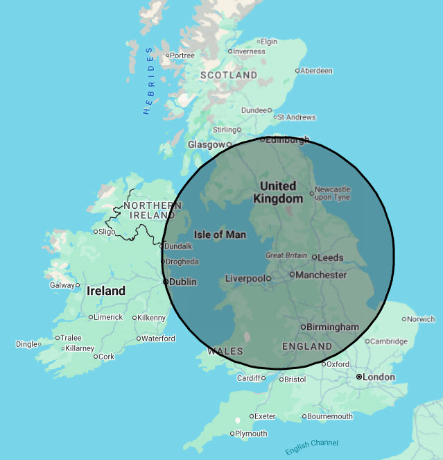
Quickly and safely collecting accurate data and imagery using drone technology
Tell me more... About UsWe love to talk drones! Get in touch!
Drones do not just provide a general view from above, but provide an interactive solution, allowing us to better communicate project progress, document assets and enhance safety on the jobsite.
In essence drones collect accurate data and imagery and are particularly useful for performing tasks that would pose safety risks to humans.
Provide consistent, regular and timely updates of your sites development progress.
Show progress over time and also to check that build is to specification. CAD drawings can be overlaid and measurements can be taken from imagery if required.
The practice of using drones for land surveys & mapping can compliment traditional methods of surveying.
Capture site data to sub centimetre accuracy, quicker than traditional methods with more detailed outputs.
Using infra red equipped drones, aerial thermographic inspections of buildings and other assets including ground-mounted and roof-mounted solar (PV) modules and arrays are possible.
Aerial thermographic inspection of buildings and plant can help to identify areas of poor or failing insulation, cold bridges in construction as well as air leakage.
Drones are safer and more accurate than manual roof measurement and inspection. We can deliver a far richer set of data to streamline your workflow.
Safe & quick coverage of your asset, reduce your risk exposure in a “working at height” situation
Get the shot you need to promote your business or project.
By providing you with clear aerial footage and photography, you’ll have the perfect material to make sure your business or project gets noticed.
Get a view of your buildings and critical assets that is not possible without risky and costly scaffolding, cherry pickers or rope access.
Reduce risk and perform inspections with minimal disruption to your normal business and asset operations.
One drone is enough to cover the whole intersection or even a whole transport corridor.
With this type of view, you can get extremely accurate traffic data such as counting of object in classes, origin / destination matrix but also in telemetric data (speed, acceleration, object size).
Call for a chat, email us your queries, ask for information!
Collecting data and imagery using drone technology | Drones | Commercial Drone Services | Media | Inspection | Survey | Volumetrics